
One Lens.
Infinite Vigilance.
Replace hundreds of ground cameras with a single AI-driven aerial perspective. Real-time event identification from high-altitude drone footage.
The mathematics of
replacing complexity.
Traditional surveillance demands exponential infrastructure for linear coverage gains. Our AI analytics plugin inverts this equation entirely—delivering comprehensive situational awareness from a single aerial vantage point.
Singular Intelligence
One high-altitude drone captures what hundreds of ground-level cameras miss. Our AI processes the full panoramic field in real time, identifying events invisible to fixed-point surveillance.
Instant Event Detection
From non-standard movement patterns to heat signature anomalies, our plugin classifies and alerts within milliseconds—turning raw aerial footage into actionable intelligence.
Infrastructure Agnostic
No wiring. No pole mounts. No maintenance fleets. Deploy over any terrain—forests, coastlines, highways, campuses—without physical infrastructure investment.
Beyond Line of Sight
Ground cameras see corridors. We see ecosystems. Our god's-eye perspective reveals spatial relationships and patterns that ground-level optics fundamentally cannot detect.
Mission-specific
intelligence.
Each operational environment demands unique detection parameters. Our AI adapts its recognition models to the specific KPIs of your sector.

Mobility & Navigation
Ride-Share, Mapping & Traffic Platforms

Ocean Rescue
Coastal & Maritime Safety
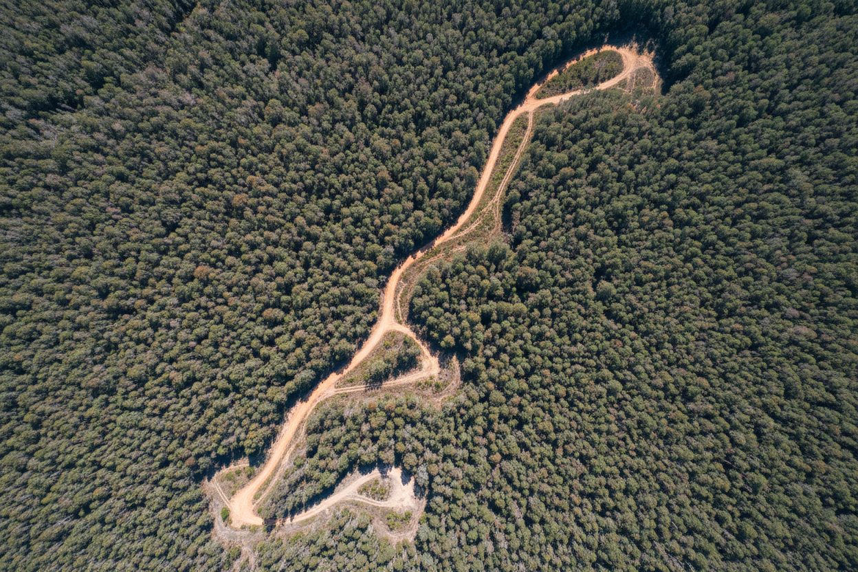
Parks & Rangers
Wildfire & Conservation

Highway Patrol
Traffic & Infrastructure
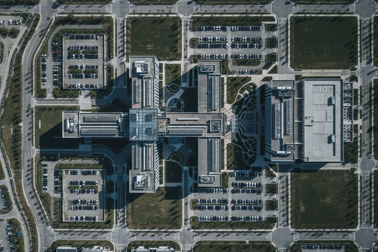
Corporate Security
Enterprise Perimeter Defense

Campus Safety
Schools & Universities
Initiate contact.
Strategic Inquiries
CORPORATE & GOVERNMENT
Investor Relations
BETA PHASE ACCESS
Aeriel is currently in its beta-testing phase, partnering with select organizations to validate our AI analytics engine across diverse operational environments. We're building the foundational intelligence layer for the next generation of aerial surveillance.
For Investors
- Access our Beta-Phase Technical Whitepaper
- Schedule a demo with the founding team
- Review beta-testing performance metrics